The map
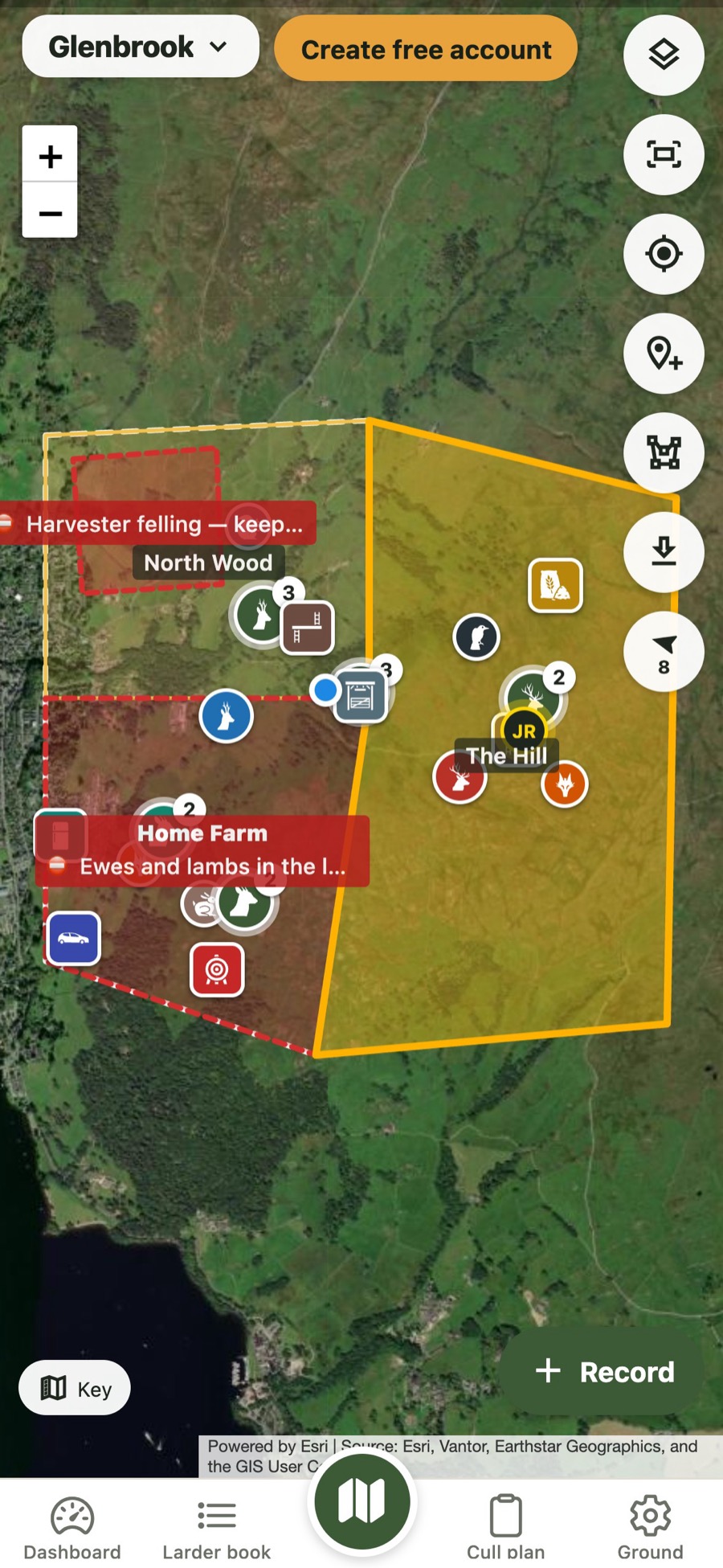
Everything on one map
Culls, sightings, points and closures, layered on satellite or Ordnance Survey mapping.
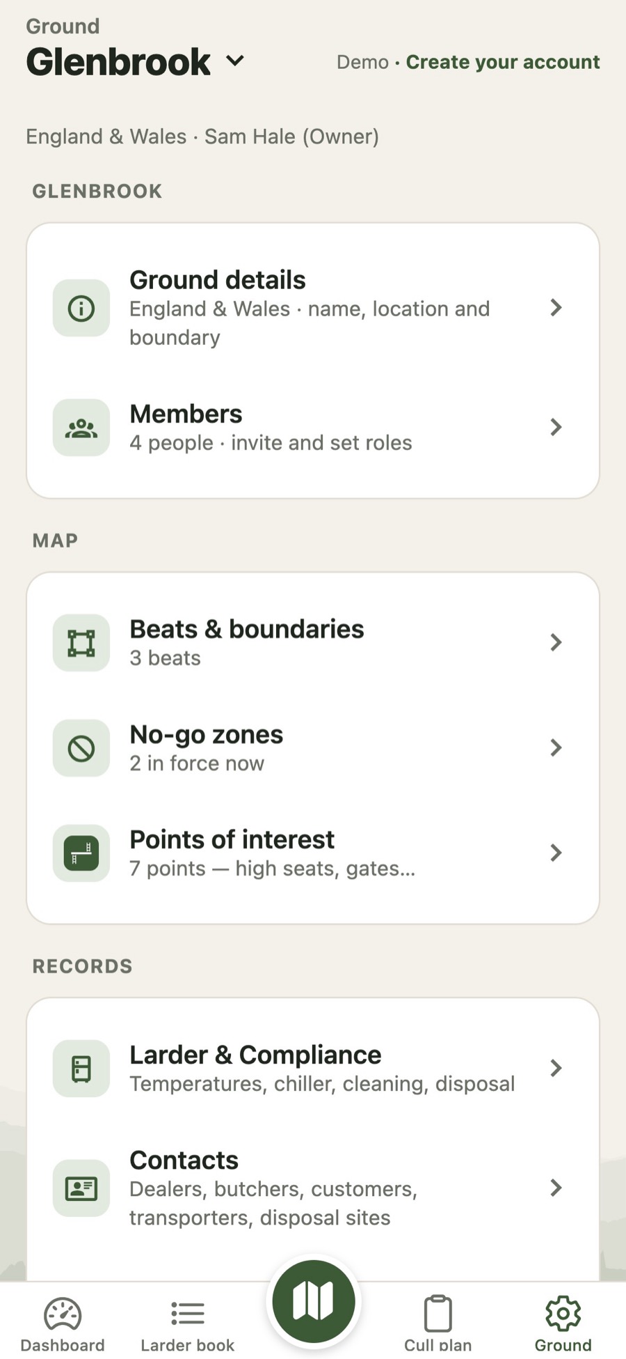
Boundary and beats
Tap round the edge on the map. Add detached woods and fields as parts of the same ground.
No-go zones
Close a beat or an area for felling, livestock or shoots, with an end date.
Points of interest
High seats, hides, feeders, gates, parking and more.
Offline maps
Download your ground to use with no signal.
Paid
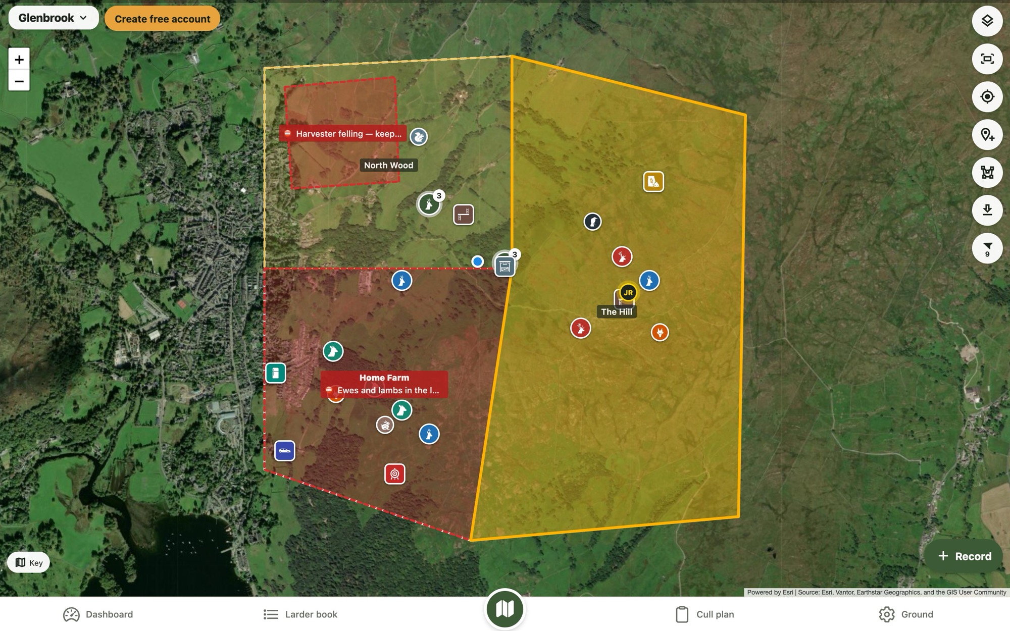
On a computer too
Plan at home, use it in the field
The same map in your browser at muntiacus.uk, ready for drawing boundaries on a big screen.
- Choose what you seeCulls, vermin, points and the sightings heat map.
- Satellite or OS mapSwitch with one tap.
- Wind on the mapThe forecast wind direction, hour by hour.
Questions
About the map
Does the map work without signal?
On the Paid plan you can download your ground to use offline. Everything you record without signal is sent when you’re back in range.
Can I use it on a computer?
Yes. Sign in at muntiacus.uk to see and edit the same map on a bigger screen.
More in Muntiacus
Built by deer stalkers, for deer stalkers
Free for one person and one ground. Paid is £19.99 a year for up to three grounds and 20 people, and everyone you invite joins free.